 Corridor Stakeout Report Utility (CSRU)
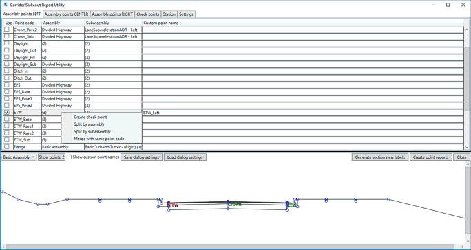
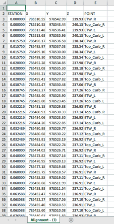
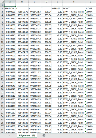
Corridor Stakeout Report Utility is useful plugin for Autodesk Civil 3D 2019 a 2020, that is able to generate spreadsheet files with point coordinates. These coordinates are derived from corridor feature lines at a specific station. Output parameters in reports include: Station, Coordinates X,Y,Z, Offset from alignment axis and Cross slope in %. This plugin is particularly suitable for construction companies, civil infrastructure engineers, designers or surveyors solving everyday demands for staking out huge amount of points representing daylight edges of linear building structures or just check points or mark points on each pavement layer.
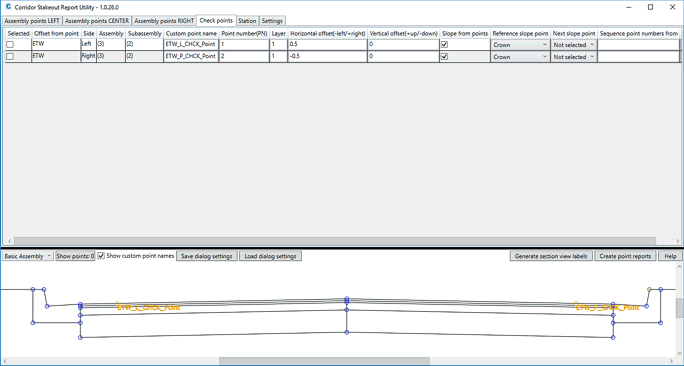
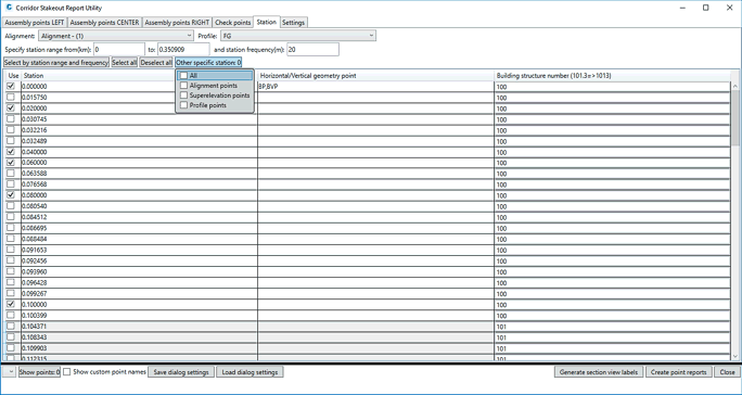
This utility is able to automatically create unique point numbers compound of building structure number, station, pavement layer order and its custom point number (e.g. 1013011800001). The station frequency can be arbitrarily specified at regular station increment e.g. 5 meters or appended with combination of horizontal, vertical or superelevation critical stations. Custom irregular station from corridor property can be also selected.
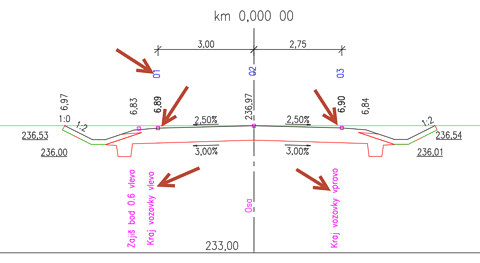
For better control and transparency dynamic preview of assemblies including custom point names or original Civil 3D point codes is provided. In case of need, user is able to automatically generate and show all custom and check point names in cross section views using classic Civil 3D label styles.
If you are interested in the commercial version of CADstudio CMT, use the BUY icon below , or contact CAD Studio.
Price of the commercial version of GVBK see -
![]() (for Civil 2020-2018)
(for Civil 2020-2018)